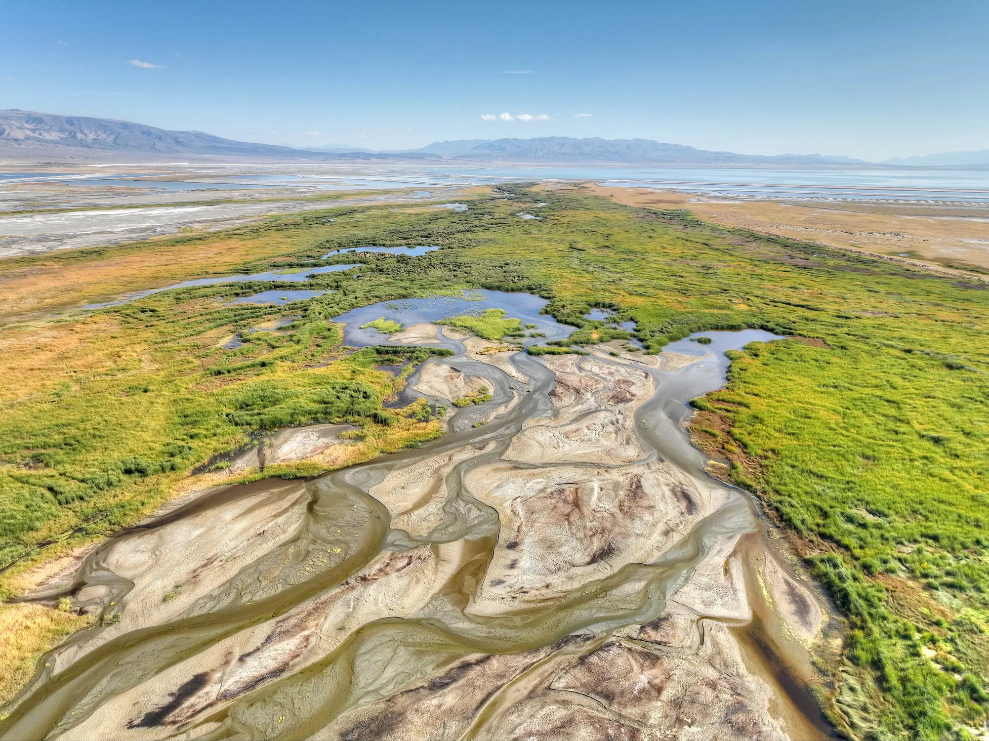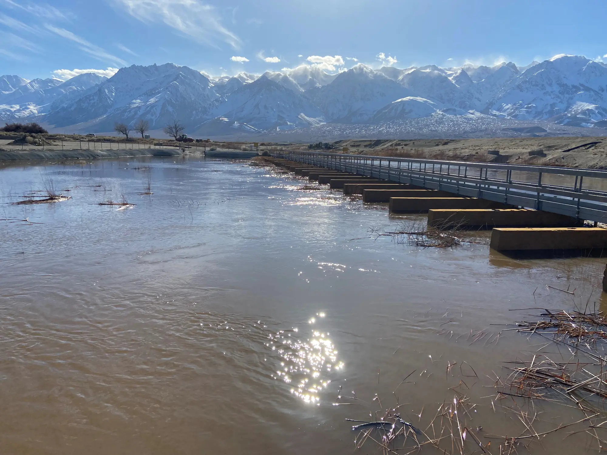
This large-scale mitigation project was initiated in December 2006 and reintroduced continuous flows to a 62-mile stretch of the Lower Owens River and delta. This portion of the Owens River, from just south of Aberdeen to the Owens Lake, had been left nearly dry since 1913, when the river was diverted into the Los Angeles Aqueduct.
The LORP is restoring a set of systems connected to the Owens River. In order to reestablish wetland, flooded and riparian habitat, the project includes the 20,400-acre Blackrock Waterfowl Management Area, a network of Off-River Lakes and Ponds, and the Owens River Delta Habitat Area. Together, these components are supporting wildlife, improving water quality, and offering new opportunities for recreation and scientific study within the Owens Valley.

Guiding Documents


Monitoring and Managing the LORP
Each year, LADWP and Inyo County work together to manage and improve the Lower Owens River Project (LORP). LADWP handles operations, property management, and water flow regulation. The County focuses on monitoring the river’s biology and water quality and conducting research to guide future activities and inform adaptive management.